

Fitxer:Odoacer 480ad.jpg

Fitxer original (900 × 545 píxels, mida del fitxer: 701 Ko, tipus MIME: image/jpeg)

 Vegeu la pàgina original a Commons


|
Aquesta imatge (de tipus historical map) s'hauria de tornar a crear utilitzant gràfics vectorials com ara un fitxer SVG. Això té diversos avantatges; en trobareu més informació a Commons:Media for cleanup. Si ja disposeu d'una versió d'aquesta imatge en format SVG, us preguem que la pengeu; després, reemplaceu aquesta plantilla amb la plantilla {{Vector version available|nom nou de la imatge.svg}} en aquesta imatge.
|


Resum
| Descripció | Odoacer's Kingdom of Italy in 480 AD. |
| Data | |
| Font | Treball propi |
| Autor | Thomas Lessman (Contact!) |
| Permís (Com reutilitzar aquest fitxer) |
Jo, el titular dels drets d'autor d'aquest treball, el public sota la següent llicència:    Aquest fitxer està subjecte a la llicència Creative Commons Reconeixement-CompartirIgual 3.0 No adaptada.
|
| Altres versions | See Below |
Map Summary
Original Source URL: http://www.thomaslessman.com/History/images/East-Hem_480ad.jpg or www.WorldHistoryMaps.info

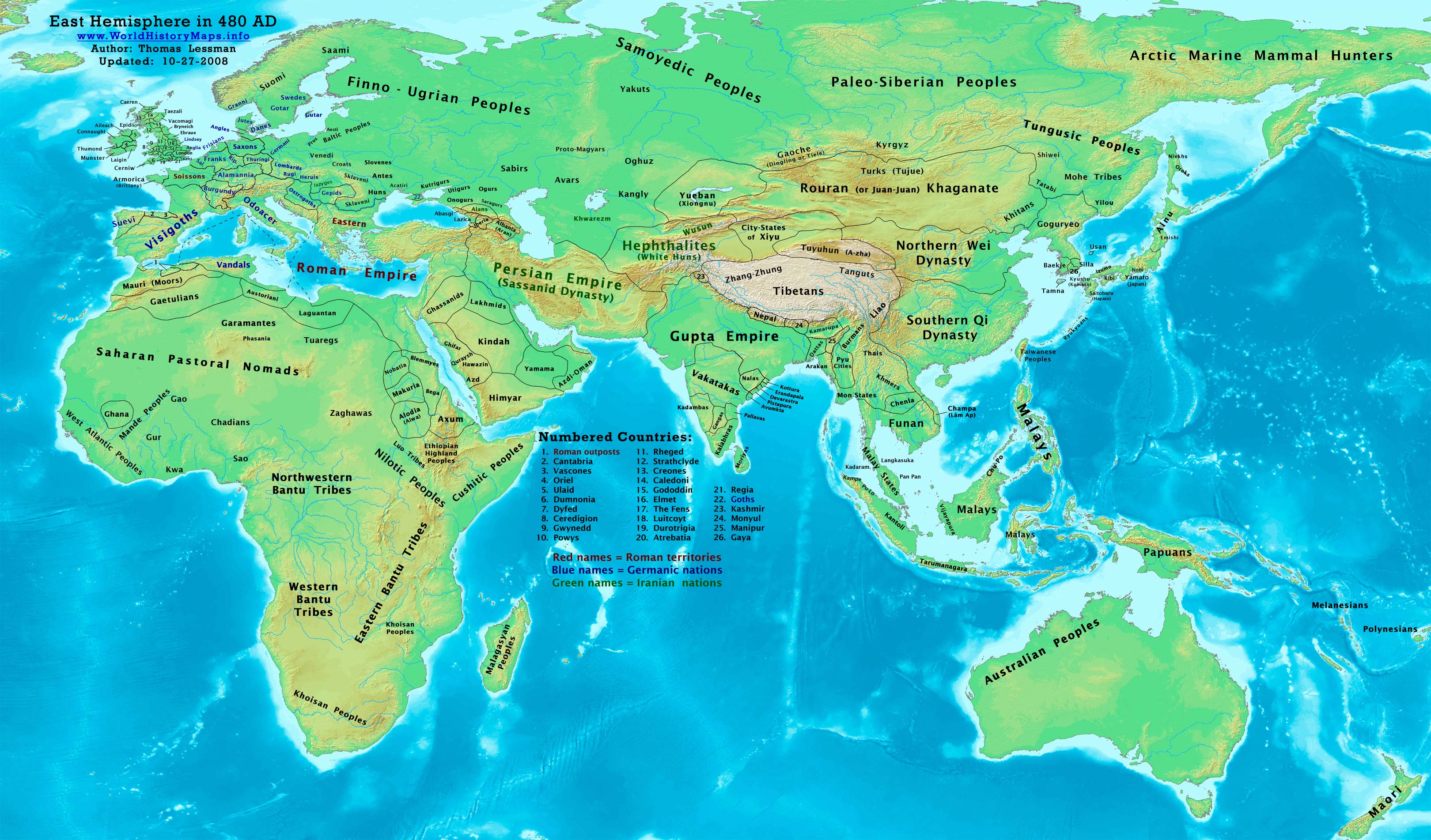
This map of the Kingdom of Odoacer in 480 AD is a zoomed-in version of Thomas Lessman's map of the East-Hem 480 AD, also available at www.WorldHistoryMaps.info.

The highlighted areas represent Odoacer's Kingdom of Italy, after the capture of Italy (476), conquest of Sicily from the Vandals (477) and the annexation of Dalmatia after the assassination of Emperor Julius Nepos (480).
Map Source References
Remember, sources often conflict with each other. This map is only as accurate as the information that is available to me. To report any errors or to help further this work, please click here, or email Thomas Lessman at talessman@yis.us
References for information contained in this map:
Other Maps by Thomas Lessman
| Maps of the eastern hemisphere showing history
Bold dates are available on Wikimedia or Wikipedia. | ||
| Primeval | ||
| Ancient
|
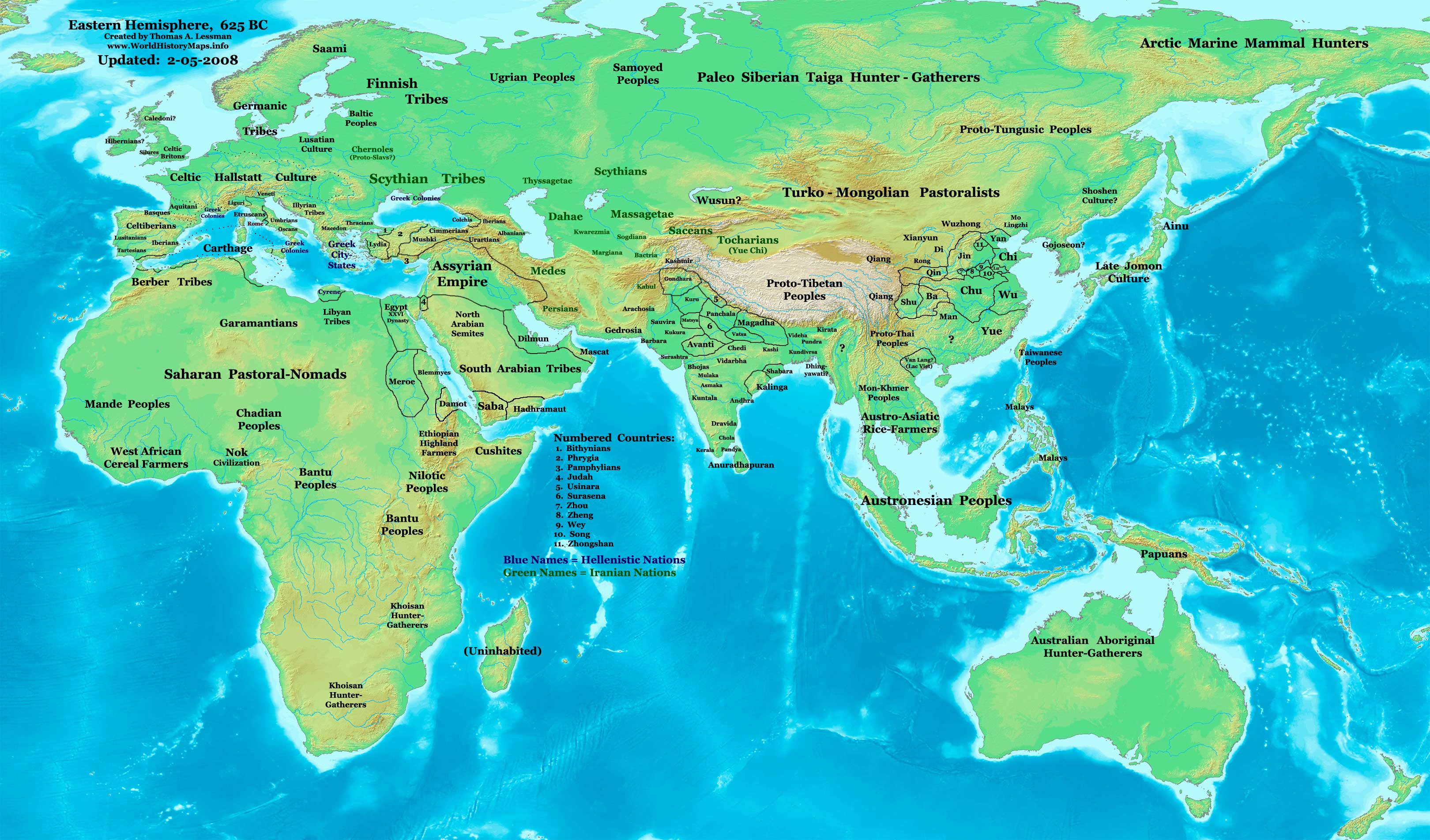
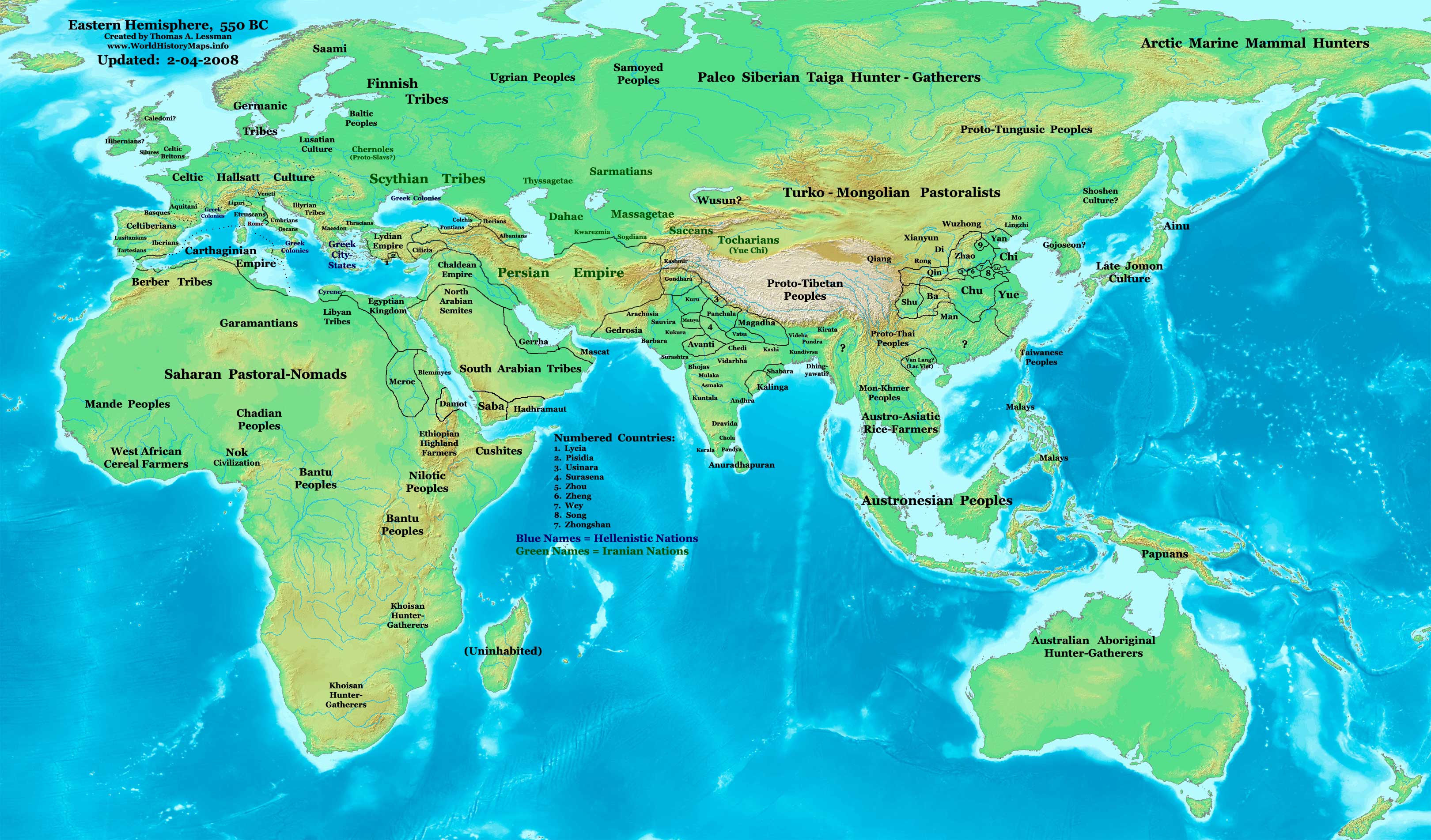
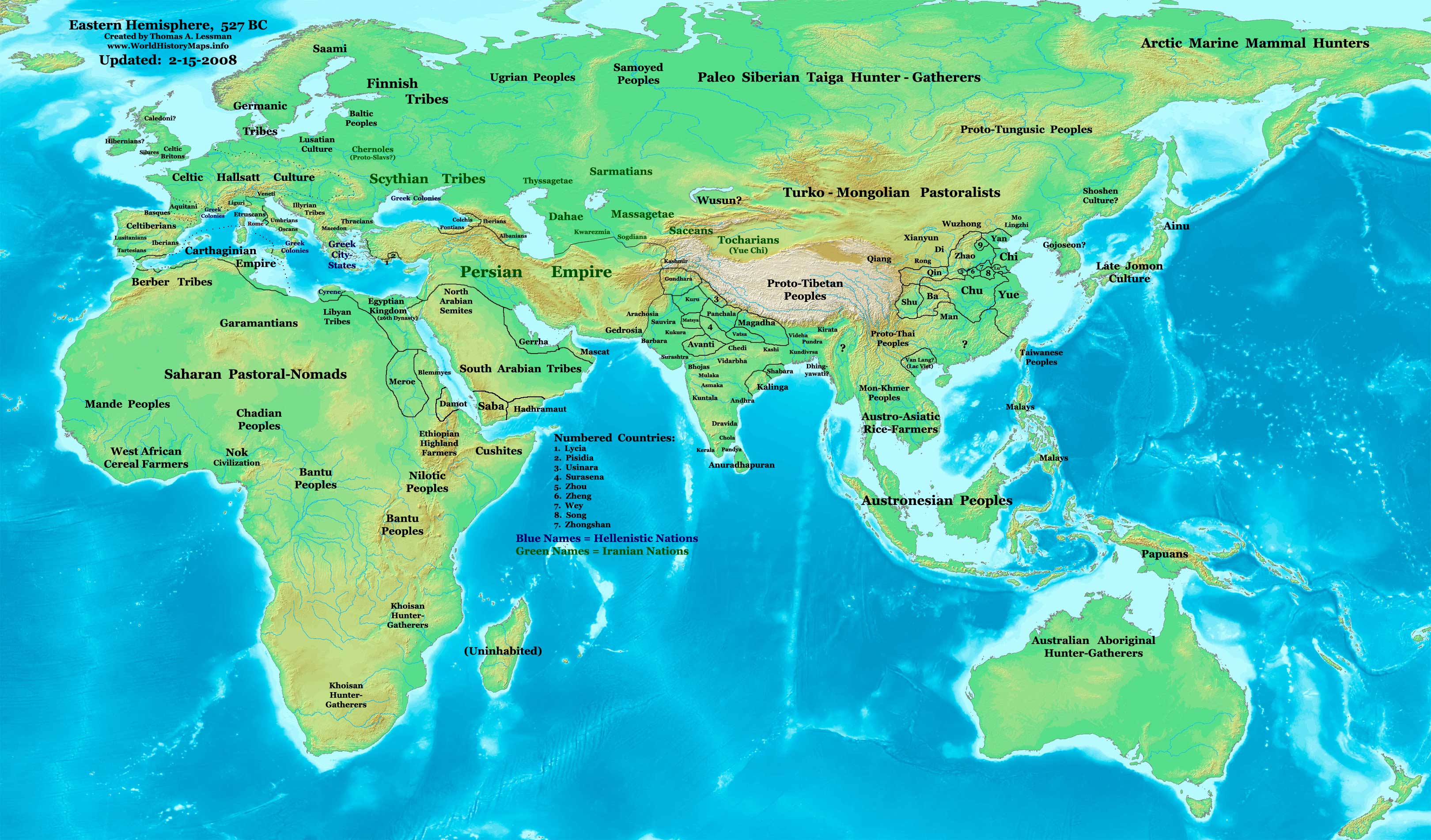
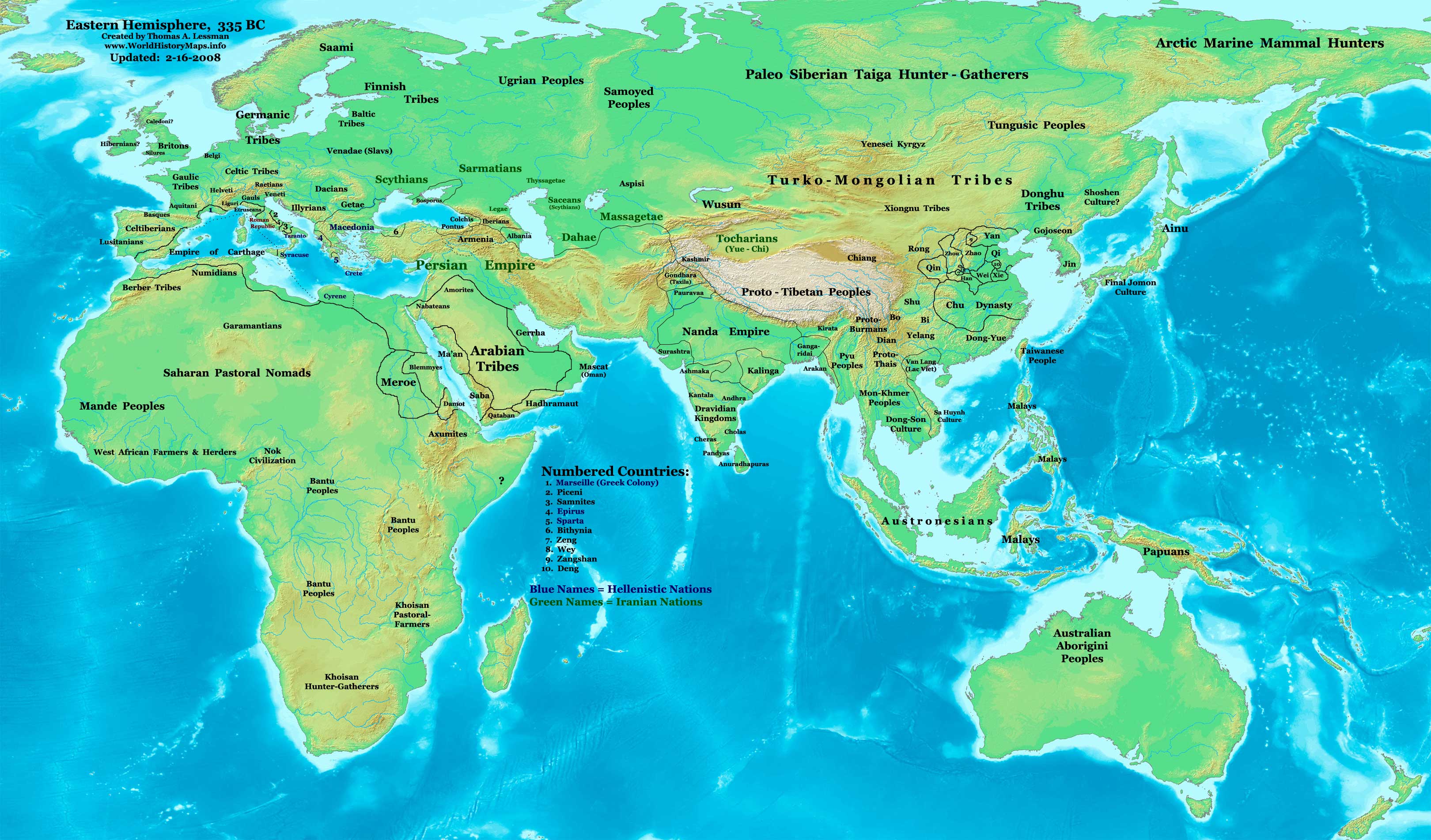
·| 600 BC | 550 BC | 527 BC | 500 BC |
400 BC | ·| 1 AD | 50 AD | 100 AD | 200 AD | 300 AD | | |
| Medieval |
·| 500 AD | 565 AD | 600 AD | 700 AD | | |
| Modern |
·| 1500 AD | · * For historical maps of the whole world, | |










Historial del fitxer
Cliqueu una data/hora per veure el fitxer tal com era aleshores.
| Data/hora | Miniatura | Dimensions | Usuari/a | Comentari | |
|---|---|---|---|---|---|
| actual | 20:50, 23 oct 2022 | | 900 × 545 (701 Ko) | wikimediacommons>Gyalu22 | Reverted bad faith edit. The Westermanns Atlas doesn't show the Carpi |
Ús del fitxer
La pàgina següent utilitza aquest fitxer:
