

Fitxer:Spice Islands (Zanzibar highlighted).svg

Mida d'aquesta previsualització PNG del fitxer SVG: 486 × 599 píxels. Altres resolucions: 195 × 240 píxels | 389 × 480 píxels | 623 × 768 píxels | 831 × 1.024 píxels | 1.661 × 2.048 píxels | 713 × 879 píxels.
Fitxer original (fitxer SVG, nominalment 713 × 879 píxels, mida del fitxer: 11 Ko)

Aquest fitxer i la informació mostrada a continuació provenen del dipòsit multimèdia lliure Wikimedia Commons.
 Vegeu la pàgina original a Commons
 Vegeu la pàgina original a Commons

 Any autoconfirmed user can overwrite this file from the same source. Please ensure that overwrites comply with the guideline.
Resum
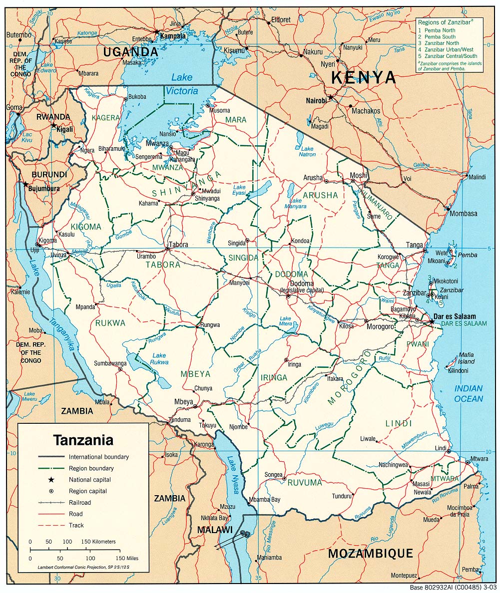
| Descripció | Part of the map of Tanzania, showing the Spice Islands, and highlighting Zanzibar. |
| Data | |
| Font | Vectors self-made in Inkscape. Source was cropped from 2003 Political map of Tanzania at Perry-Castañeda Library Map Collection — Tanzania. The maps are attributed to the US Central Intelligence Agency. |
| Autor | Mysid |
| Altres versions |
Derivative works of this file: Image:Spice Islands (Tanzania).svgin French : Image:Spice_Islands_Tanzania-fr.svg in French : Image:Spice_Islands-Zanzibar_highlighted-fr.svg in Arabic: Image:Spice Islands (Zanzibar highlighted)-ar.svg |
| SVG genesis |




Llicència

|
Jo, el titular del copyright d'aquesta obra, l'allibero al domini públic. Això s'aplica a tot el món. En alguns països això pot no ser legalment possible, en tal cas: Jo faig concessió a tothom del dret d'usar aquesta obra per a qualsevol propòsit, sense cap condició llevat d'aquelles requerides per la llei. |
Historial del fitxer
Cliqueu una data/hora per veure el fitxer tal com era aleshores.
| Data/hora | Miniatura | Dimensions | Usuari/a | Comentari | |
|---|---|---|---|---|---|
| actual | 18:57, 2 nov 2024 | | 713 × 879 (11 Ko) | wikimediacommons>Dchestnykh | Redo the previous version in vector |
Ús del fitxer
La pàgina següent utilitza aquest fitxer:
